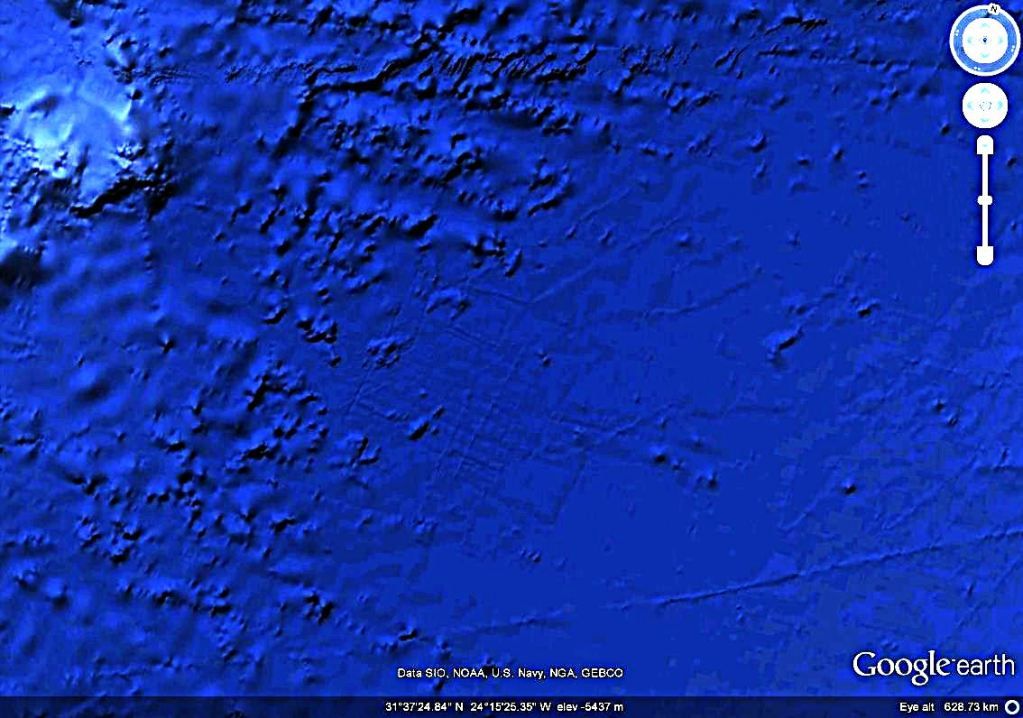
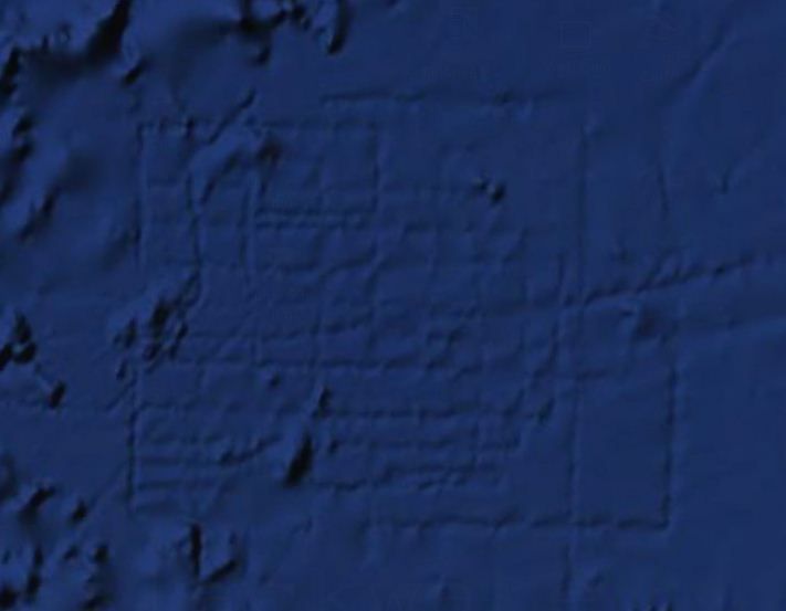
There is much speculation in the grid form of lines on the bottom of the ocean seen in Google Earth, located off the coast of northwest Africa, near the Canary Islands. What could be this square? It is unlikely that it would be accidetal, formed by the force of nature. Looks like city streets, but should have been made for giant creatures.
There are some several assumptions that would solve the mystery, but unfortunately, these are hard to believe.
-An explanation would be that these lines are remnants of the lost city of Atlantis. Image found on Google Earth, is on a area for long time thought to be as a possible location for this city.
-Another explanation would be that it was made by aliens? Certainly they seem to be made it intentionally, and who and when was done, we will not know unless those who made them will tell us.
-Another explanation is given this time by people at Google, that said that marking-grid under the ocean is an 'artifact' to map the data collection process. Details for the ocean maps on Google Earth, come from sonar measurements, and in this area, measurements were made by vessels traveling in a series of straight lines.
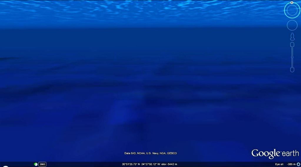
What intrigues me, is why if these 'artifacts' does not exist there, as you approach the area for viewing under the ocean, there are forms of relief in 3D viweing, as shown in photo capture below? And another thing: why they drived boats only in that area? Was there the end of the oceans map?
Another possible explanation, yes, a little hard to believe and crazy, is that in that location, may be traces of those who found the city of Atlantis or other sunken city, which may have had hidden treasures that were stolen and then was destroyed to leave no traces of the ruins. Atlantis was for long time and maybe is, hunted by many.
One other thing that intrigues me, is that this form of square, is at the edge of some underwater mountains. Maybe this city was located on the shores of the large ocean.


 Monday, July 09, 2012
 Unknown


 Posted in:


0 comments:
Post a Comment